Enjoy unlimited access for less than $1/day
You'll receive unlimited access to all of our original reporting, plus newsletters, invitations to live events and more. Cancel anytime.
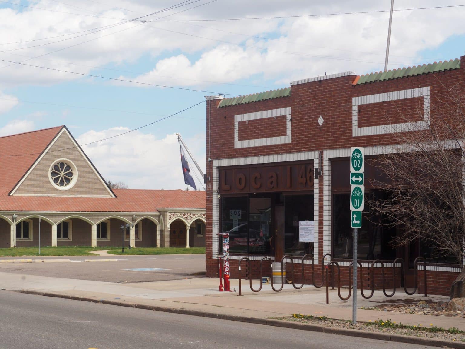
The 4586 Tennyson St. building, with the former Olinger Moore Howard Chapel in the distance. (Photo by Thomas Gounley)

The Daily NewsFeed provides a quick summary of key local, state, and national business stories to start your day.
Sign up for free! or Become a Member Today